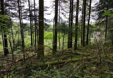
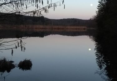
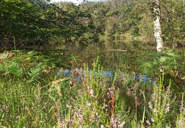
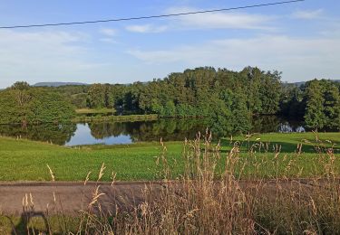
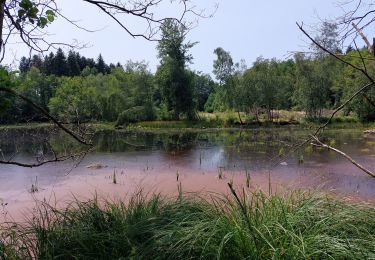
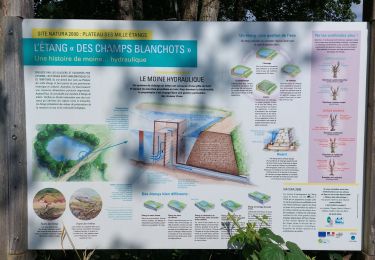
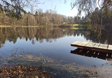
Trail Walking La Voivre - Annegray - Etang de la plate pierre - La Chapelle St-Colomban - Photo

Annegray - Etang de la plate pierre - La Chapelle St-Colomban

 ballet
ballet

User

© OpenStreetMap contributors
Length
Length
8 km
Max alt
Max alt
491 m
Uphill gradient
Uphill gradient
165 m
Km-Effort
Km-Effort  
10.2 km
Min alt
Min alt
368 m
Downhill gradient
Downhill gradient
165 m
Boucle
Boucle
Yes
Creation date :
2014-12-10 00:00:00.0
Updated on :
2014-12-10 00:00:00.0

(2 Reviews)

Walking
Walking
2h00
Difficulty : Easy

Scan this QR Code to open this trail in the SityTrail application

FREE GPS app for hiking

Logo SityTrail SityTrail

IGN / Geographical institutes

Download SityTrail from the App Store Download SityTrail from Google Play

Logo SityTrail SityTrail World

The world is yours!

Download SityTrail from the App Store Download SityTrail from Google Play Download SityTrail on Huawei AppGallery

About

Trail Walking of 8 km to be discovered at Bourgogne-Franche-Comté, Haute-Saône, La Voivre. This trail is proposed by ballet.

Elevation profile

Positioning

Country:
France
Region :
Bourgogne-Franche-Comté
Department/Province :
Haute-Saône
Municipality :
La Voivre
Location:
Unknown
Start:(UTM)
317960 ; 5298052 (32T) N.

Comments

Please log in to post a review or rate the element


belle randonnée mais nous avons rencontrés des problèmes d'autorisation de passage des propriétés :1 la ferme de Montanchoux a privatisé le chemin, panneau sens interdit et clôture. 2 passage sur la digue du Bouvet barré par une clôture et semble privé. 3 au point côté 467 m nous avons été invités par un habitant de la maison à quitter les lieux et nous a interdit le passage sur la digue pour rejoindre l'étang de plate pierre et nous avons du finir par la route. Néanmoins nous avons apprécié la visite du prieuré Saint Colomban et il serais souhaitable d'avoir un éclairage sur les problèmes de traversées des propriétés pour donner les cinq étoiles.


très jolie ballade avec de nombreuses choses a voir et un peu d'histoire.


Trails nearby

Trail Walking Écromagny - Milles Étangs 18.06.2020 - Photo
Walking
klopbill

Walking

Medium
(2)
Écromagny, Bourgogne-Franche-Comté, Haute-Saône, France
18.7 km | 23 km-effort
6h 26min
Yes
Trail Walking Faucogney-et-la-Mer - 08-02-20 La mer, étang de Pierre Plate et retour. - Photo
Walking
annefrance70

Walking

Very easy
(1)
Faucogney-et-la-Mer, Bourgogne-Franche-Comté, Haute-Saône, France
9.9 km | 12.3 km-effort
2h 4min
Yes
Trail Walking Faucogney-et-la-Mer - 07-09-24 Faucogney et étangs - Photo
Walking
annefrance70

Walking

Medium
Faucogney-et-la-Mer, Bourgogne-Franche-Comté, Haute-Saône, France
9.1 km | 13.4 km-effort
2h 41min
Yes
Trail Walking Esmoulières - 08-07-23 circuit du plateau d'Esmoulieres - Photo
Walking
annefrance70

Walking

Medium
Esmoulières, Bourgogne-Franche-Comté, Haute-Saône, France
8.7 km | 11 km-effort
2h 2min
Yes
Trail Walking Écromagny - Étang de plate pierre - Photo
Walking
Sugg

Walking

Medium
Écromagny, Bourgogne-Franche-Comté, Haute-Saône, France
9.2 km | 11.3 km-effort
3h 59min
Yes
Trail Walking Écromagny - Ecromagny Rando réelle  - Photo
Walking
Sugg

Walking

Medium
Écromagny, Bourgogne-Franche-Comté, Haute-Saône, France
7.6 km | 9.5 km-effort
4h 17min
Yes
Trail Walking Esmoulières - Esmoulières rando réelle  - Photo
Walking
Sugg

Walking

Medium
Esmoulières, Bourgogne-Franche-Comté, Haute-Saône, France
9.2 km | 11.5 km-effort
3h 11min
Yes
Trail Walking Belmont - 4-03-22 circuit du bois des hauts, Belmont - Photo
Walking
annefrance70

Walking

Easy
Belmont, Bourgogne-Franche-Comté, Haute-Saône, France
11.9 km | 14.8 km-effort
2h 48min
Yes
Trail Walking Faucogney-et-la-Mer - la mzr - Photo
Walking
tessy74

Walking

Very difficult
Faucogney-et-la-Mer, Bourgogne-Franche-Comté, Haute-Saône, France
18.7 km | 24 km-effort
6h 17min
Yes


Close
My subscriptions